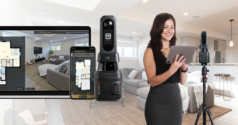
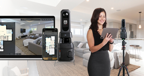
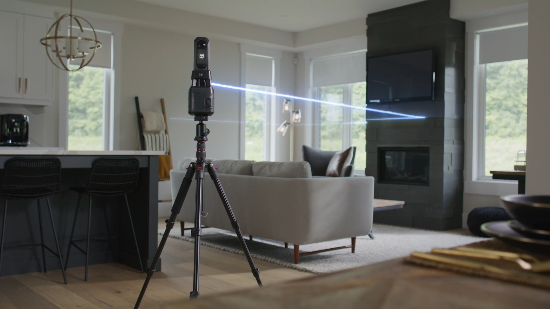
WATERLOO, Ontario--(BUSINESS WIRE)--Planitar Inc., makers of iGUIDE, a proprietary camera and software platform for capturing and delivering 3D virtual tours and property data, today introduced the iGUIDE PLANIX R1, a fast, lightweight, and affordable lidar-equipped 360-degree camera system for creating accurate floor plans, 3D tours, ESX files, CAD drawings and 3D models.
“The PLANIX R1’s compact, rugged design, combined with its speed and accuracy, sets it apart from traditional rotating cameras, which are often more cumbersome, slower to operate, and costly to process," said Alexander Likholyot, CEO and co-founder of Planitar, Inc. "The PLANIX R1 enables users to achieve professional results with a single snap from a high-resolution, 360-degree, lidar-equipped device that can go anywhere. It's the next step in the evolution of our PLANIX cameras, featuring a streamlined system architecture that delivers robust capture capabilities and an unparalleled experience for everyday use and capturing anything, from very small to very large spaces.”
Building on a decade of iGUIDE hardware innovation, the PLANIX R1 is a quick-capture camera system that delivers unsurpassed accuracy in floor plans and easy-to-navigate 3D virtual tours. Once captured, the rich property data can seamlessly be uploaded to the iGUIDE Portal via the iGUIDE PLANIX mobile app. Depending on the project type, an iGUIDE 3D virtual tour and floor plan can be delivered in minutes, with complete 3D CAD drawing packages available within a few days.
PLANIX R1 key features include:
- Improved visuals: As the next evolution of the PLANIX camera system, the R1 offers higher image resolution with better colors and contrasts for higher-quality images within the iGUIDE 3D Virtual Tour, powered by the fully integrated Ricoh THETA X 360-degree camera.
- Trusted iGUIDE accuracy: The R1’s lidar delivers enhanced accuracy, limiting measurement uncertainty in distance measurements on floor plans to 0.5% or better and in square footage to 1% or better.
- Compact and rugged design: The R1 is small and weighs just 980g, (2.2 lbs.), making it easy to carry in any camera bag and combine with other gear. The system cover protects imaging and measurement optics from elements during storage.
- All-day battery life: Thanks to the R1's long-lasting battery, photographers and capture specialists can shoot all day without changing batteries or connecting to an external battery pack. Replacement batteries can be conveniently obtained from hardware stores.
- No monthly subscriptions: No monthly fees mean flexibility and no extra fixed costs. Processing and 1-year hosting are included with iGUIDE pay-per-project fee structure and customers can download their data for self-hosting or offline use.
“The new PLANIX R1 incorporates numerous improvements for a more efficient and capable device. The integration of iGUIDE technology into my business has been a key component of our success, and with the new PLANIX R1, iGUIDE improves our ability to get the job done faster and deliver enhanced results to our clients," said Doug Logan, founder, Fine Homes Photography, who shared his thoughts after being part of a pre-release group that got to experience the PLANIX R1 before its official launch.
For professionals in real estate, architecture, engineering, construction, insurance and restoration, the PLANIX R1 is the most affordable 360-degree camera with lidar technology in its class. It retails for $2,499 US and $3,499 CDN, making it accessible to photographers and capture specialists. Various file outputs and reliable operator support make the PLANIX R1 the most flexible solution.
For more information, visit: goiguide.com.
About Planitar:
Founded in 2013 in Kitchener, Ontario, Canada, Planitar Inc. is the maker of iGUIDE, a proprietary camera and software platform for capturing and delivering immersive 3D virtual tours and extensive property data. iGUIDE is the most efficient system to map interior spaces and features accurate floor plans, measurements and reliable property square footage. By integrating floor plans and visual data, iGUIDE provides an intuitive and practical way to navigate and explore built environments digitally. For more, visit goiguide.com.


