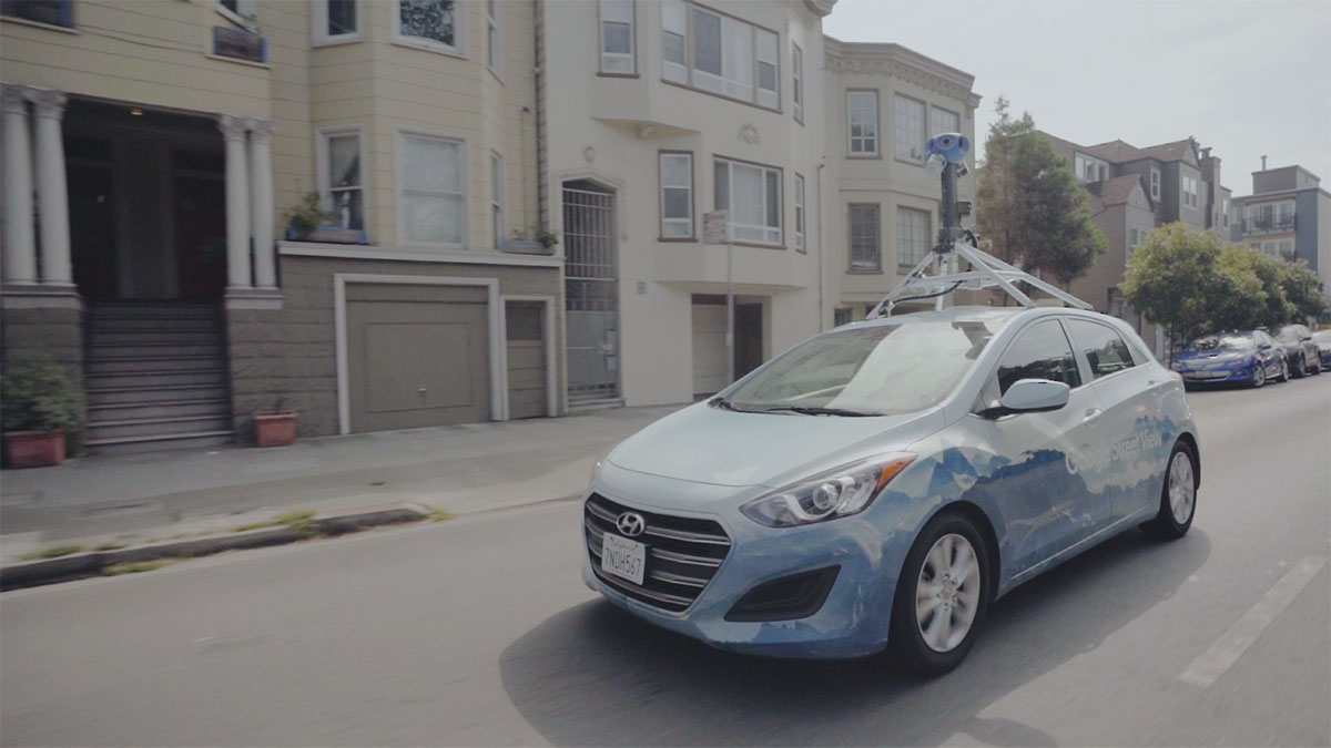
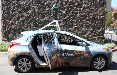
SAN FRANCISCO--(BUSINESS WIRE)--Today, Google and Aclima, a San Francisco company that measures and maps hyperlocal air quality and climate emissions at block-by-block resolution, announced plans to scale and integrate Aclima’s mobile sensing platform into Google’s global fleet of Street View vehicles starting with 50 cars. Today’s announcement builds on years of research and demonstration efforts with Aclima-equipped Google Street View cars in California to support new science that shows the power of mobile monitoring to make air quality visible at scales not previously possible.
Google Maps Street View cars will be equipped with Aclima’s mobile sensor node which will generate snapshots of carbon dioxide (CO2), carbon monoxide (CO), nitric oxide (NO), nitrogen dioxide (NO2), ozone (O3), and particulate matter (PM2.5) while the cars routinely collect Street View imagery in cities and regions around the world. This snapshot data will be aggregated and designated with a representativeness indicator and will be made available as a public dataset on Google BigQuery. The complete dataset will be available upon request to advance air quality science and research. The first Aclima-equipped Street View cars will hit the road this Fall in the United States, as well as outside the U.S.
“As air pollution and climate emissions pose an urgent challenge to human and planetary health, partnering with Google to scale Aclima’s environmental intelligence platform in Street View cars will activate awareness about local air quality in communities around the world where this information doesn’t currently exist,” said Aclima CEO Davida Herzl. “We’re thrilled to expand our years-long effort with Google to provide snapshots of hyperlocal air quality and emissions at the street level and global scale.”
“We've been working with Aclima to test the technology for years, and we're excited that we are ready to take the next steps to begin this new phase: expanding to more places around the world with the Street View fleet. These measurements can provide cities with new neighborhood-level insights to help cities accelerate efforts in their transition to smarter, healthier cities,” said Karin Tuxen-Bettman, Program Manager for Google Earth Outreach.
Since 2015, Aclima-equipped Google Street View cars have driven over 100,000 miles in the state of California collecting over one billion data points to map air quality in Los Angeles, San Francisco Bay Area, and Central Valley communities. Producing one of the largest data set of urban air pollution of its kind ever assembled, the dedicated fleet created street-level maps of air quality in California communities and produced a peer-reviewed, scientific study in Oakland, CA revealing how air pollution levels can vary five to eight times along a city street. The demonstration fleet integrated high-grade research equipment to generate representative, high-quality air pollution data and verify performance of Aclima’s mobile sensor node and platform for large-scale deployment on Google Street View and other vehicle fleets.
About Aclima
Aclima delivers hyperlocal air quality data and insights, at block-by-block resolution. We combine leading-edge sensor technology, climate science, enterprise software and machine learning to generate high-resolution maps of emissions across pollutants –– from CO2 and methane to particulate matter. Translating real-time data into environmental intelligence, Aclima transforms how we understand and manage our communities, cities, and industries to improve human and planetary health. Aclima is a 2017 World Economic Forum Technology Pioneer, as well as one of the prestigious 2018 Global Cleantech 100 companies. Aclima is headquartered in San Francisco, CA. For more information, visit www.aclima.io.


